Home
Project
Acknowledgments
Project Summary
Web-Based: Interactive
Khobar City
Maps
Road System Classification
Subdivision of Major Roads
Khobar City Model
Geometric Model
Classes of Roads – Streets
Traffic Flow
Location of Traffic Classifiers
Method of Traffic Flow Monitoring
Traffic and Noise Monitoring
Road Traffic Flow
Noise Pollution Monitoring
Location of Noise Monitors
Acoustical Indicators of Noise
Assessment of Noise Levels
Results of Noise Measurements
WBI Noise Maps
Web-based and Interactive Noise Map
Scenarios of Noise Pollution Predictions
IMPORTANT NOTE
Interactive Noise Pollution Maps
WBI Air Pollution
Predicted Contaminants
Example 1: Intersection
Example 2: Intersection
Interactive Air Pollution Maps
Monitoring and Mapping of Traffic Noise and Air Pollution of Arterial Roads in Urban Areas :
A Decision-Assisting Framework for Impact Assessment and Mitigation Measures
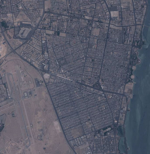
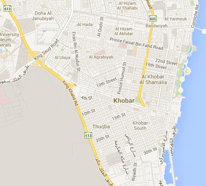
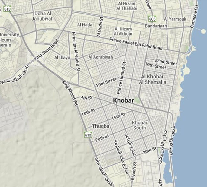
Al-Khobar maps
(Different Sources)
Source: http://travel.yahoo.com/p-map-488134-map_of_al_khobar-i
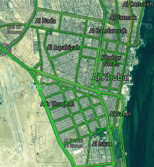
Click for Enlarged View